
 MCMC has created a new virtual tour of the Merri Catchment that uses aerial photos from Google Earth to illustrate the geography of Merri Creek. The tour can be viewed on any computer or mobile phone HERE.
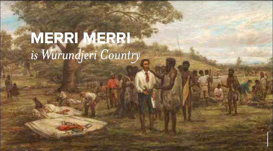
The tour shows the Merri Catchment in the context of Australia and Victoria, the Wurundjeri Woi-wurrung lands and the basalt plains. It explains what a catchment is and shows the Merri's relationship to the Great Dividing Range and neighbouring catchments, then looks at each of the Merri's subcatchments. It illustrates the underlying basalt geography of most of the catchment, visits its volcanoes and explains how basalt has been used. In ten minutes it is a great introduction to the catchment, and the aerial photography makes it easy to understand.
The video would suit students wanting to find out more about Merri Creek, residents of the catchment wanting an introduction to understanding the catchment and volunteers wanting to understand how they can help Merri Creek.
The catchment tour is the first in a planned series of short videos about Merri Creek and its catchment, using aerial photography to give a broader understanding of the catchment than is available from ground level. The next video planned will look more closely at the waterways and wetlands of the Merri, looking at historical changes, present issues and trends and what can be done to protect the Creek in future.
Thanks to the many people who contributed photographs and clips for potential inclusion in the video.
The process of building the video took over a year; boundaries of the catchments and various illustrated areas had to be defined, volcanoes located, and creeklines were exported to Google Earth format. A script was written and extensively revised, coordinating with particular views of the catchment and movements between. The basic visuals of the movie were exported from Google Earth using its built-in tool "Movie maker". This video was combined with still photos and panned and zoomed in Blender, and open source 3d modelling and video editing tool. The voiceover was recorded using Audacity open source software, and edited into the video using Blender also.

 See a web version of these fabulous panels which celebrate the outstanding community achievement since 1975 in transforming Merri Creek from a weed-smothered drain to a much-loved waterway running through a bushland corridor:


 Merri Creek Management Committee. 2 Lee St, East Brunswick, Victoria, Australia 3057